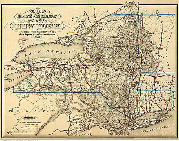
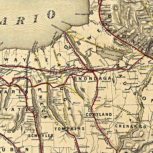
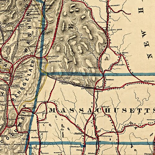
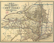
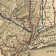
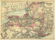
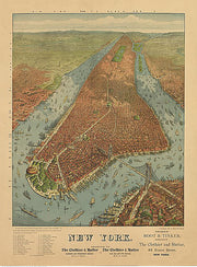
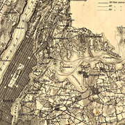
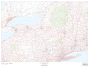
Map of the rail-roads of the state of New York, 1857
NY00015
Regular price
$39.95
Map of the rail-roads of the state of New York, 1857. This beautiful antique map reproduction is printed on heavy acid-free stock with fade proof inks and is excellent for framing.
27"W x 21"H
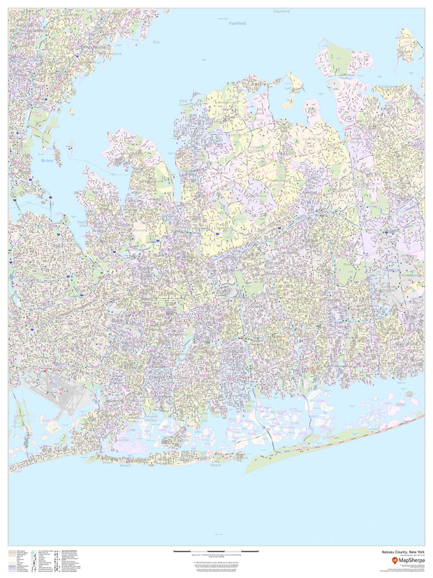
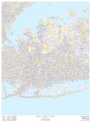
Nassau County, New York
NYWM103-1
Regular price
$59.95
This map of Nassau County, New York shows street level information including street labeling. Base map features include all roads with major roads and highways labelled; neighborhood names; railways; high level land use such as parks and recreation areas, industrial areas and hospital campuses; and a variety of points of interest including libraries, stadiums, museums, border crossings and more. ZIP code boundaries are shown as a secondary map feature.
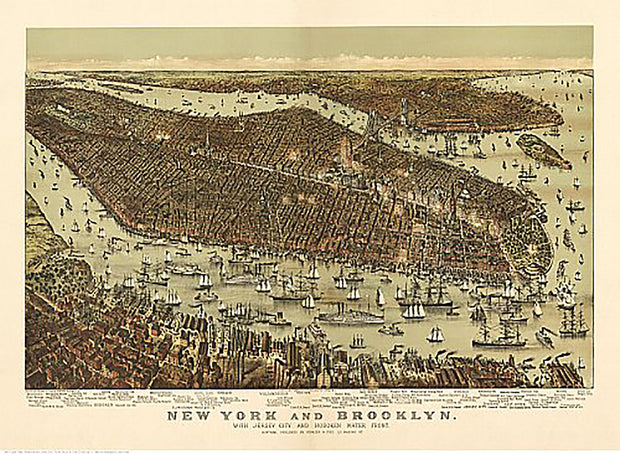
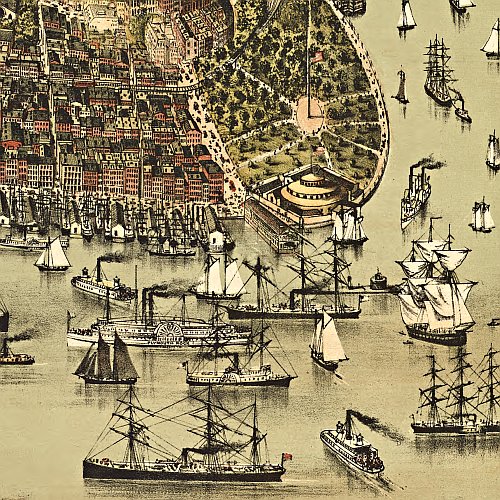
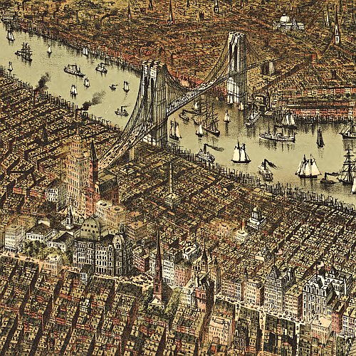
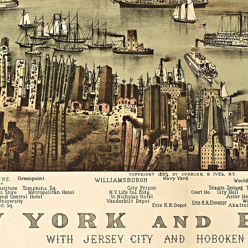
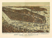
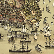
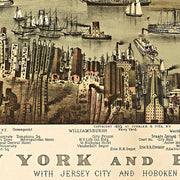
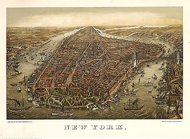
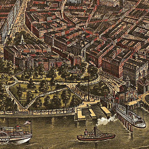
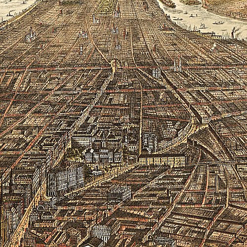
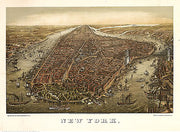
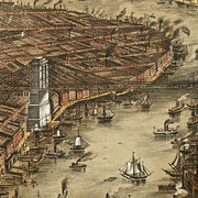
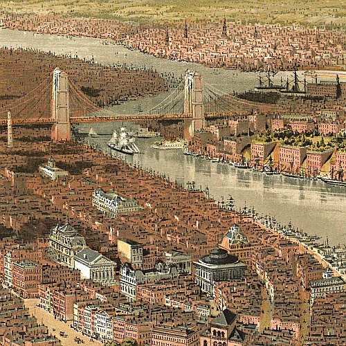
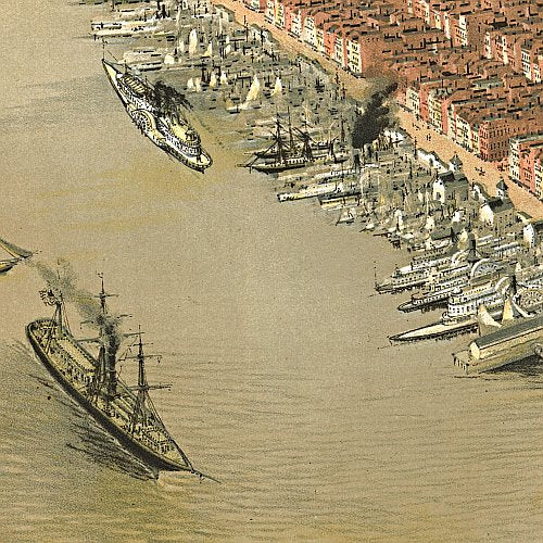
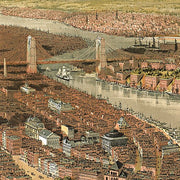
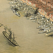
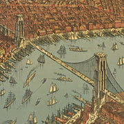
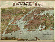
New York and Brooklyn by Parsons & Atwater, pub. by Currier & Ives, 1892
NY00016
Regular price
$39.95
New York and Brooklyn by Parsons & Atwater, pub. by Currier & Ives, 1892 This beautiful antique map reproduction is printed on heavy acid-free stock with fade proof inks and is excellent for framing.
27"W x 20"H
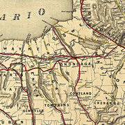
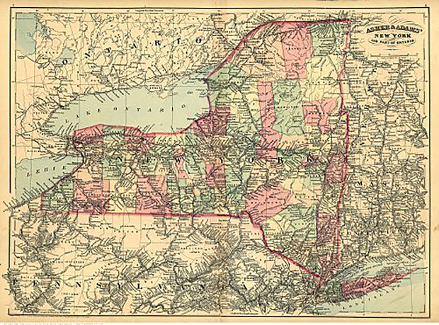
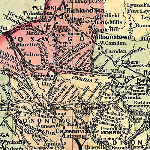
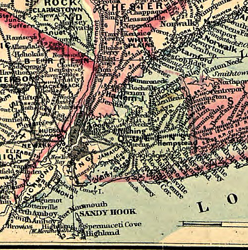
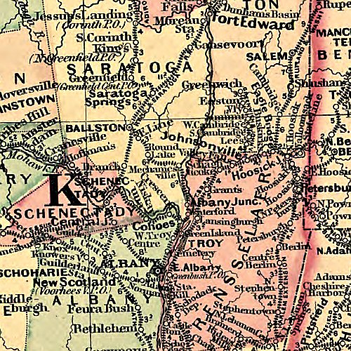
New York and part of Ontario by Asher & Adams, 1871
NY00005
Regular price
$39.95
New York and part of Ontario by Asher & Adams, 1871. This beautiful antique map reproduction is printed on heavy acid-free stock with fade proof inks and is excellent for framing.
27"W x 20"H
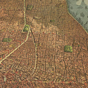
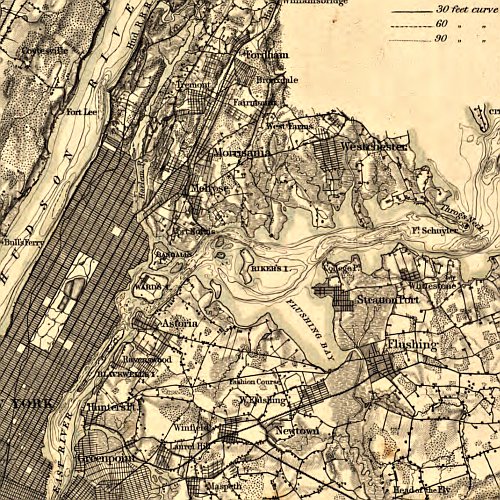
New York by G. Schlegel, 1873
NY00017
Regular price
$39.95
New York by G. Schlegel, 1873. This beautiful antique map reproduction is printed on heavy acid-free stock with fade proof inks and is excellent for framing.
25"W x 18"H
New York by G. Schlegel, pub. by Tamsen & Dethlefs, 1874
NY00019
Regular price
$39.95
New York by G. Schlegel, pub. by Tamsen & Dethlefs, 1874 This beautiful antique map reproduction is printed on heavy acid-free stock with fade proof inks and is excellent for framing.
27"W x 20"H
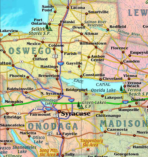
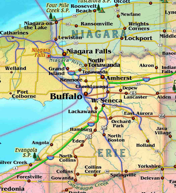
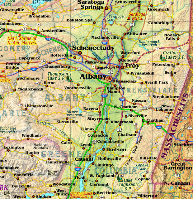
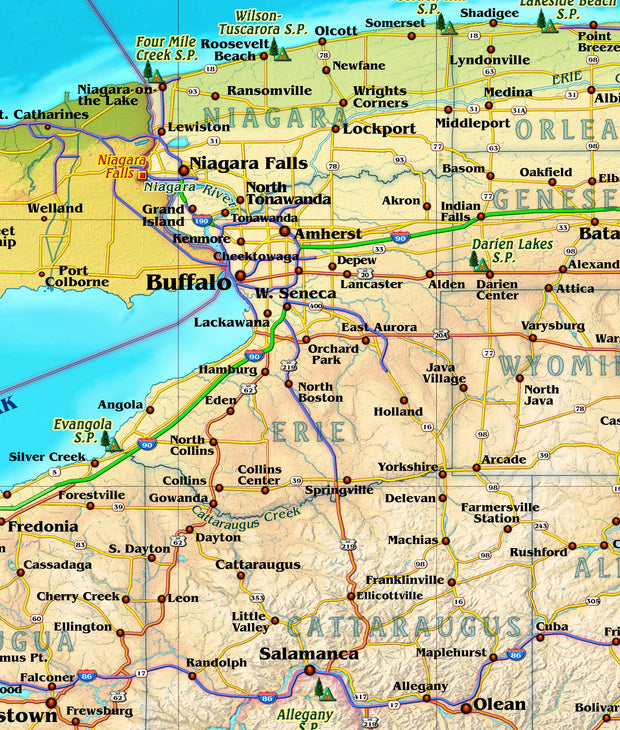
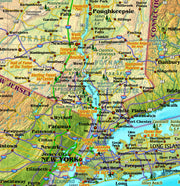
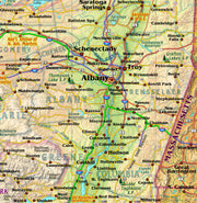
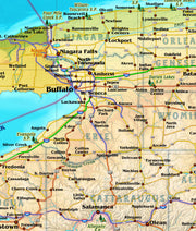
New York by Globe Turner
NYWM002-1
Regular price
$29.95
This colorful, easy-to-read state map of New York identifies all major thoroughfares, secondary roads, freeway interchanges, rest areas, distance markers, landmarks, recreational areas, and more. Shaded relief on the state map provides a three-dimensional sense of New York's topography. Detailed city inset maps of Albany, Binghamton, Buffalo, New York City, Rochester, Syracuse, and Utica are based on the latest street information from our cartographic experts. County and city indices make it simple to locate even the smallest town.
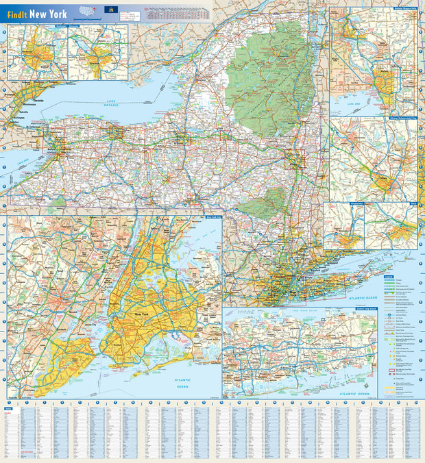
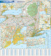
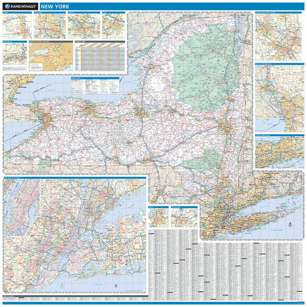
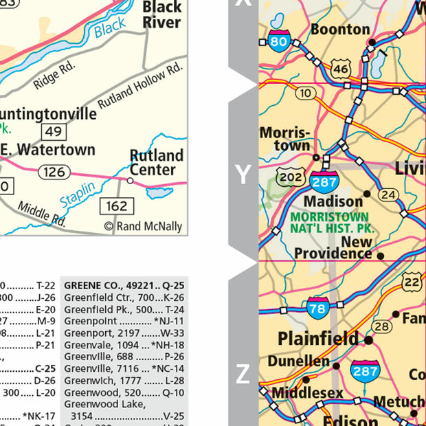
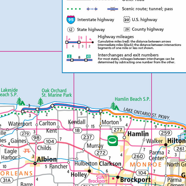
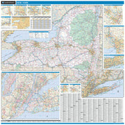
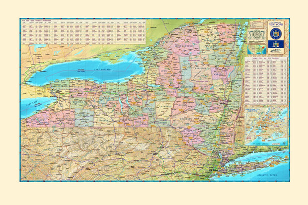
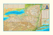
New York by Rand McNally
NYWM001
Regular price
$229.00
Laminated with Hanging Rails
60" W x 60" H
Index of Counties and Cities
Fully Indexed Counties, Cities, Mileage Chart
Inset Maps of All Major Cities
Free Shipping!
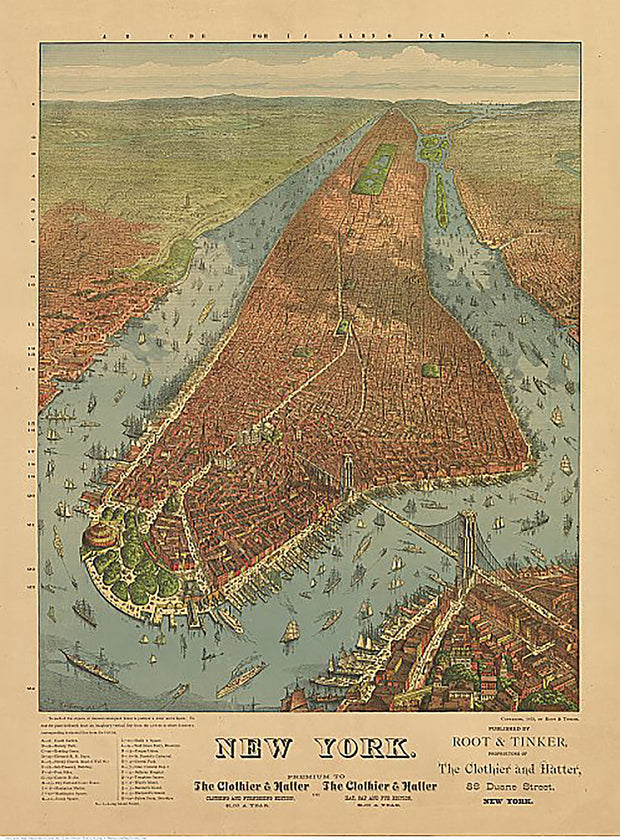
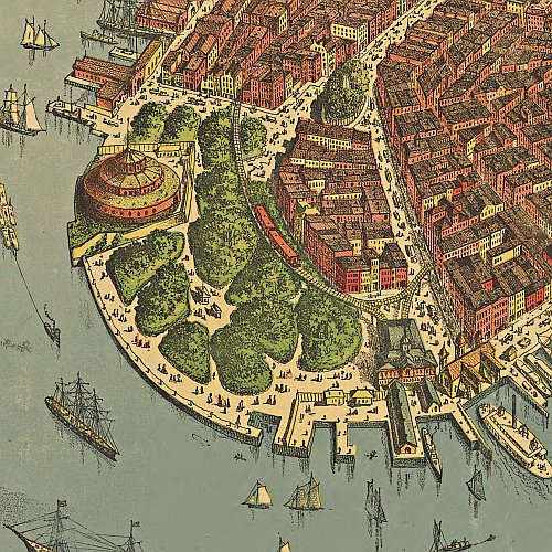
New York by Root & Tinker, 1879
NY00018
Regular price
$39.95
New York by Root & Tinker, 1879 This beautiful antique map reproduction is printed on heavy acid-free stock with fade proof inks and is excellent for framing.
20"W x 27"H
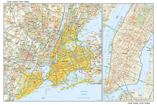
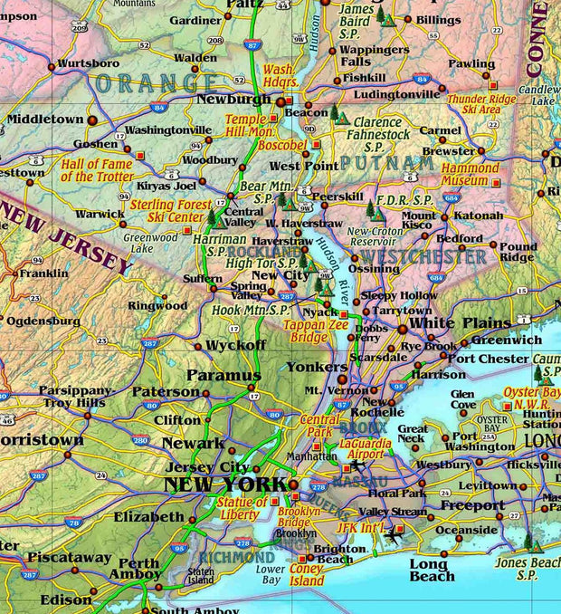
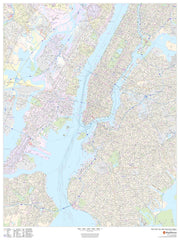
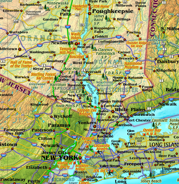
New York City
NYWM100-1
Regular price
$39.95
This detailed reference map combines two maps in one - a regional map of New York that includes all five boroughs and northeastern New Jersey plus a street-level map of Midtown and Lower Manhattan. The regional map - including all of Manhattan, Brooklyn, Queens, Bronx, and Staten Island - shows the area's cities and towns, highways and roads, and a variety of points of interest. The inset map of Midtown and Lower Manhattan shows highways, streets, parks, landmarks, and other points of interest. The Financial District, Little Italy, Greenwich Village, the Theater District and the areas around the southern half of Central Park are among the neighborhoods shown on this map.
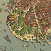
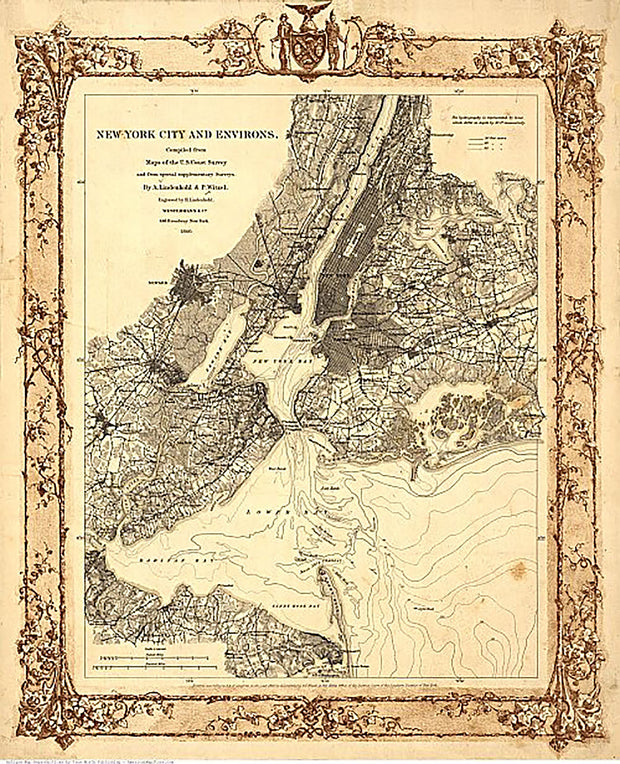
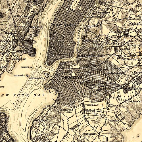
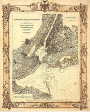
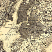
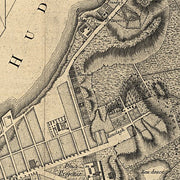
New York City and Environs, 1860
NY00020
Regular price
$39.95
New York City and Environs, 1860 This beautiful antique map reproduction is printed on heavy acid-free stock with fade proof inks and is excellent for framing.
18"W x 22"H
New York Counties Wall Map by Compart Maps
NYWM107-1
Regular price
$39.95
New York Counties Wall Map
Beautifully illustrated with subtle earth tone hues, the detail is highly legible with borders clearly defined. In classic Atlas style, this map can be used for general reference, to track current events, or as a piece of art. Decorators will find the color scheme works beautifully with dark wood furniture and trim. With flexible sizes this mural is a designer's delight.
Features Include
Cities
Counties
Physical/Terrain
Points of interest
Highways
International Borders
Physical Terrain names
State Borders
Latitude/Longitude Line
New York County
NYWM101-1
Regular price
$59.95
This map of New York County, New York shows detailed street level information including extensive street labeling. Ideal for planning of deliveries, home services, sales territories, real estate and much more. Base map features include all roads with major roads and highways labelled; neighborhood names; railways; high level land use such as parks and recreation areas, industrial areas and hospital campuses; and a variety of points of interest including schools, libraries, stadiums, museums, border crossings and more. ZIP code boundaries are shown as a secondary map feature.
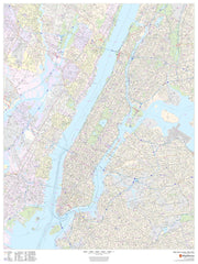
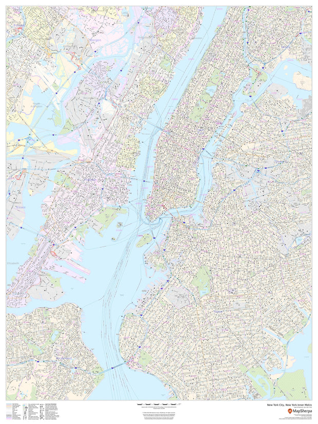
New York Inner Metro Area
NYWM106-1
Regular price
$59.95
This portrait-oriented map of central New York City, New York shows detailed street level information including extensive street labeling. Ideal for planning of deliveries, home services, sales territories, real estate and much more. Base map features include all roads with major roads and highways labelled; neighborhood names; railways; high level land use such as parks and recreation areas, industrial areas and hospital campuses; and a variety of points of interest including schools, libraries, stadiums, museums, border crossings and more.
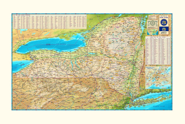
New York Wall Map by Compart Maps
NYWM108-1
Regular price
$39.95
New York Wall Map
Beautifully illustrated with subtle earth tone hues, the detail is highly legible with borders clearly defined. In classic Atlas style, this map can be used for general reference, to track current events, or as a piece of art. Decorators will find the color scheme works beautifully with dark wood furniture and trim. With flexible sizes this New York mural is a designer's delight.
This New York Wall Map features:
Cities (Indexed)
Counties (Indexed)
Physical/Terrain
International Borders
Physical Terrain names
State Borders
Latitude/Longitude Lines
Points of Interest
State Recreation areas and parks
Ocean Relief
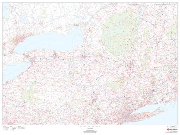
New York Zip Code Map
NYWM003-1
Regular price
$59.95
This map of New York shows ZIP codes overlaid on a road map. Base map features include county boundaries, major road network features, and state and national parks and conservation areas.
48'W x 36"H
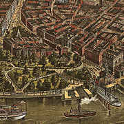
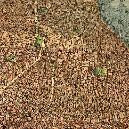
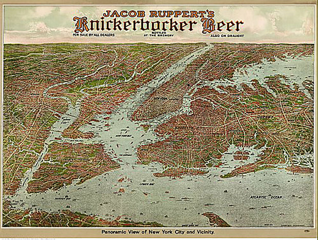
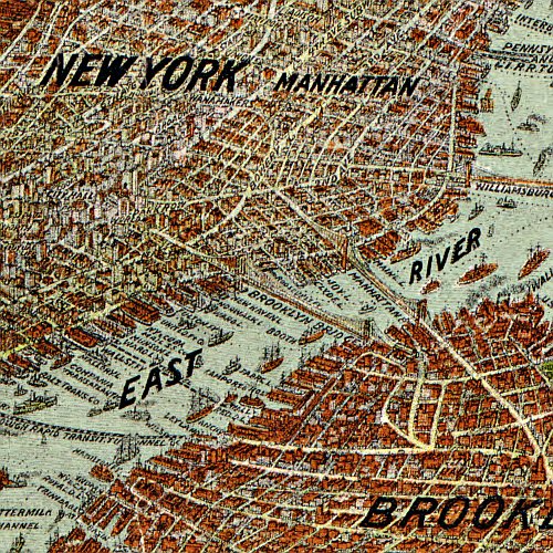
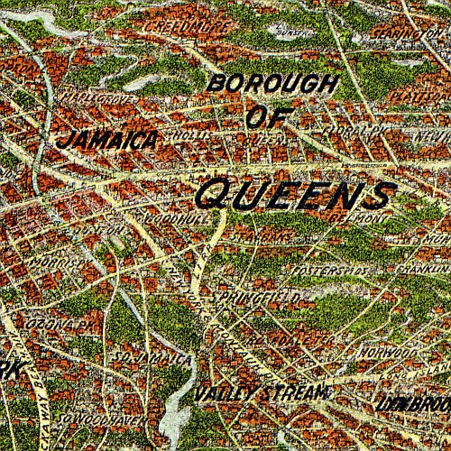
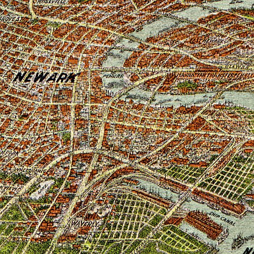
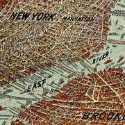
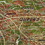
Panoramic view of New York City and vicinity, 1912
NY00022
Regular price
$39.95
Panoramic view of New York City and vicinity, 1912. This beautiful antique map reproduction is printed on heavy acid-free stock with fade proof inks and is excellent for framing.
28"W x 21"H
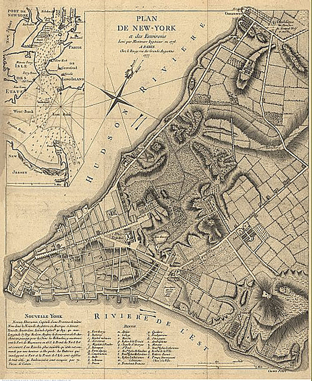
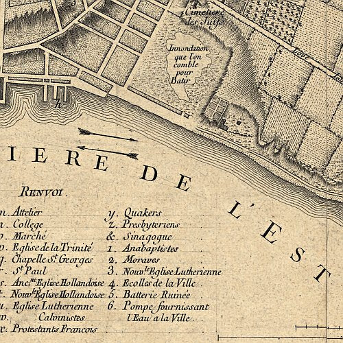
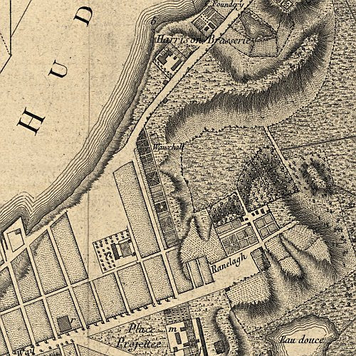
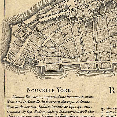
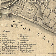
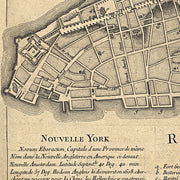
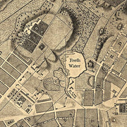
Plan de New-York et des environs, levé par Montrésor, ingénieur en 1775
NY00023
Regular price
$39.95
Plan de New-York et des environs, levé par Montrésor, ingénieur en 1775. This beautiful antique map reproduction is printed on heavy acid-free stock with fade proof inks and is excellent for framing.
20"W x 24"H
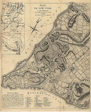
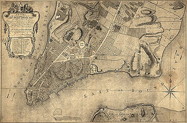
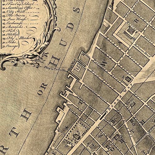
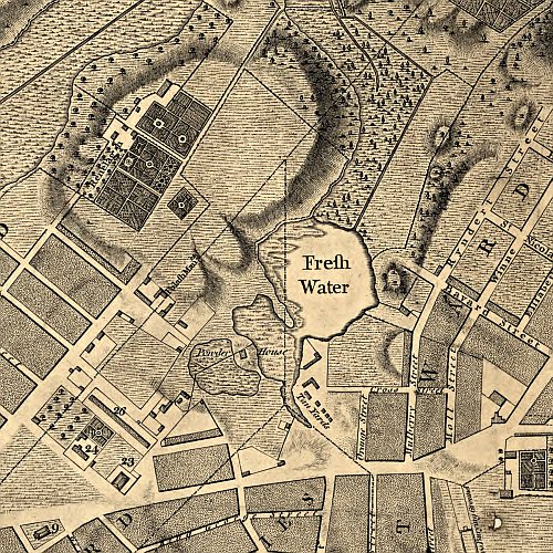
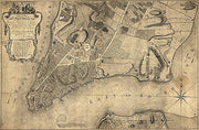
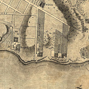
Plan of the city of New York, 1776
NY00024
Regular price
$39.95
Plan of the city of New York, 1776. This beautiful antique map reproduction is printed on heavy acid-free stock with fade proof inks and is excellent for framing.